Geographic information system

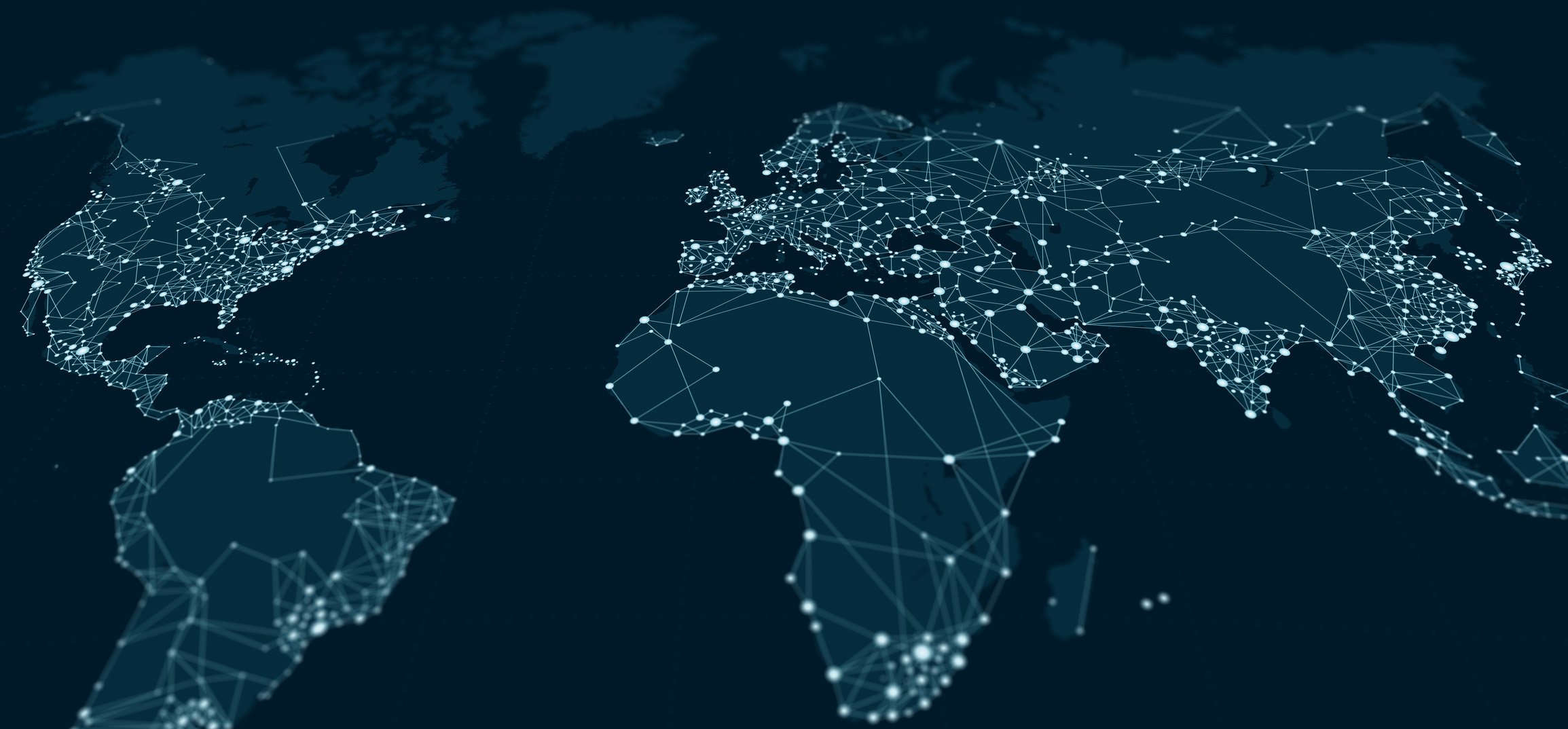
A great deal of information dealt with in logistics planning is related to places. Geographic information system (GIS) makes it possible to illustrate this information in an easily understandable way. Even large amount of data can be conceived at a glance when it is placed on a map. Geographic information analyses utilise companies’ own data or e.g. publicly available statistics or the combination of these.

In logistics planning GIS analysis can be utilised to gain insight regarding site network and reachability of sites, help determine locations for new sites, find out where potential new customers are located or to perceive the competitive situation. GIS software can also be used to make disribution and route plans that can be presented graphically on a map.
Our expert

Petri Niemi

Managing Consultant, Trade and Logistics

Get in touch!

    The fields marked with an asterisk * are mandatory.

    Get in touch!

      The fields marked with an asterisk * are mandatory.

      Geographic information system

      A great deal of information dealt with in logistics planning is related to places. Geographic information system (GIS) makes it possible to illustrate this information in an easily understandable way. Even large amount of data can be conceived at a glance when it is placed on a map. Geographic information analyses utilise companies’ own data or e.g. publicly available statistics or the combination of these.

      In logistics planning GIS analysis can be utilised to gain insight regarding site network and reachability of sites, help determine locations for new sites, find out where potential new customers are located or to perceive the competitive situation. GIS software can also be used to make disribution and route plans that can be presented graphically on a map.

      Our expert

      Petri Niemi

      Managing Consultant, Trade and Logistics

      Get in touch!

        The fields marked with an asterisk * are mandatory.